Expert drone support for Victoria & Vancouver Island, B.C.
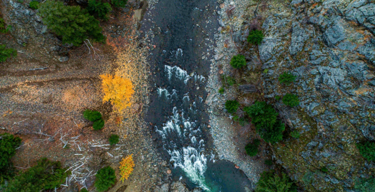
Licenced & insured drone services for home & business owners, construction and real estate projects, nature and arts groups, local governments, First Nations and more ... within Victoria and Island-wide.
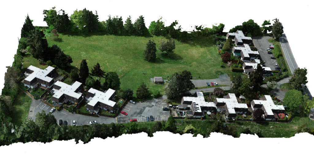
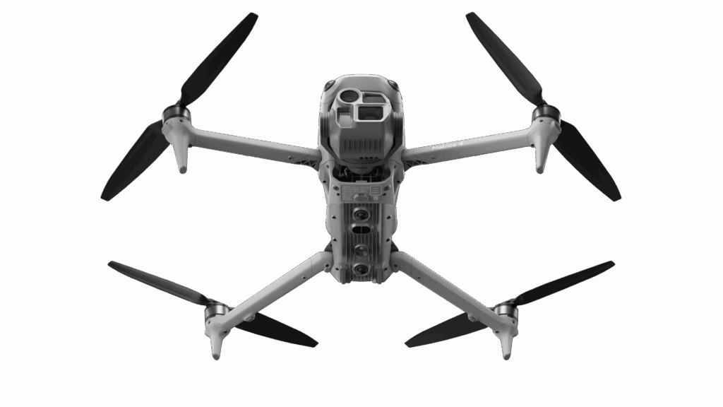
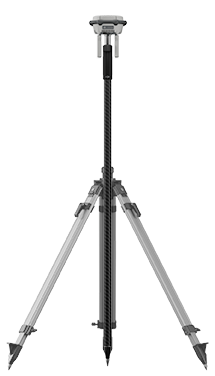
Established in 2019, Island Drone Services provides expert drone services for tasks of different sizes and complexities. From a basic photo session through to large-scale 3D mapping projects, we’re here to help.
To discuss your requirements, please call us at (778) 584-5753 to speak directly with an experienced, certified drone pilot.